Tower & Wireless Coverage Viewer · Telecom
Where do unserved homes sit near a tower that no one claims to cover?
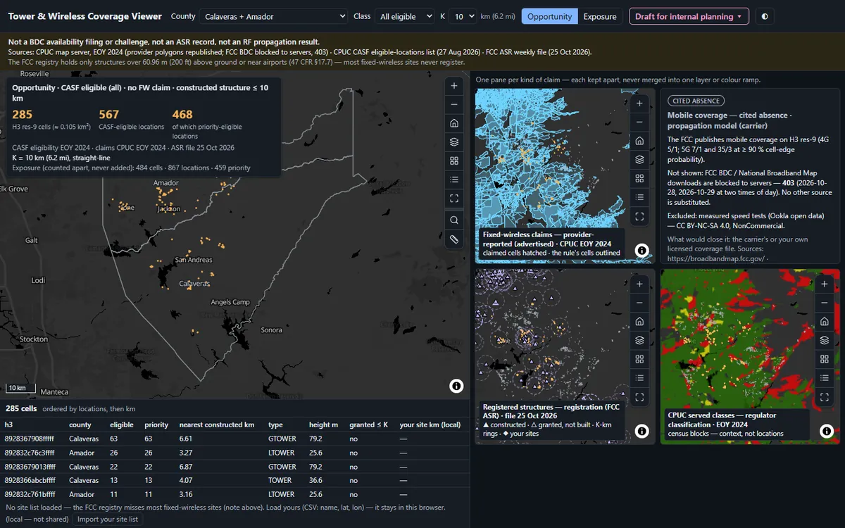
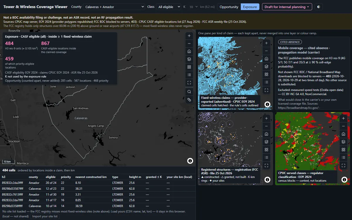
Puts the state’s unserved locations, provider-claimed fixed-wireless coverage and registered towers on one H3 grid, one pane per kind of claim, and counts the cells nobody claims within reach of a tower.
Before you open it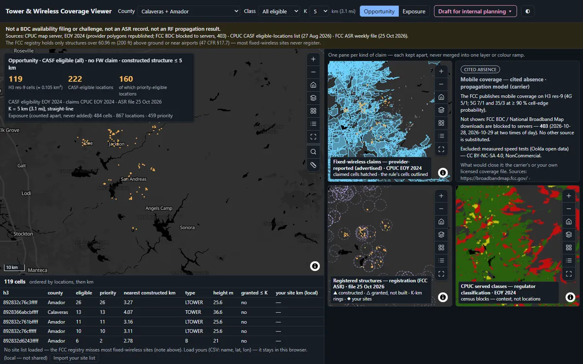 1
 2
 3
What you'll do in the app
1Read the tileCalaveras + Amador at 5 km: 119 cells, 222 eligible locations, 160 of them priority.
2Change the reach2, 5 or 10 km moves the count to 35, 119 or 285 cells; Exposure counts the claimed cells apart.
3Take the cell tableA draft for internal planning, never a BDC filing: counts, claimants and nearest structure.
Demo dataCPUC CASF eligible locations and provider coverage (EOY 2024), FCC tower registry
StandardH3 hex coverage publication
Runs onStrata, or your existing Esri services
Built fromAn open recipe, in one run with Claude
On your own data
Want this on your own data?
We deliver it for you
We set it up on your data and your rules, load your first layers, and support it on Strata Hosted or Custom.
Delivery, licence and annual supportKeep exploring
All 3 Telecom apps →Explore similar apps
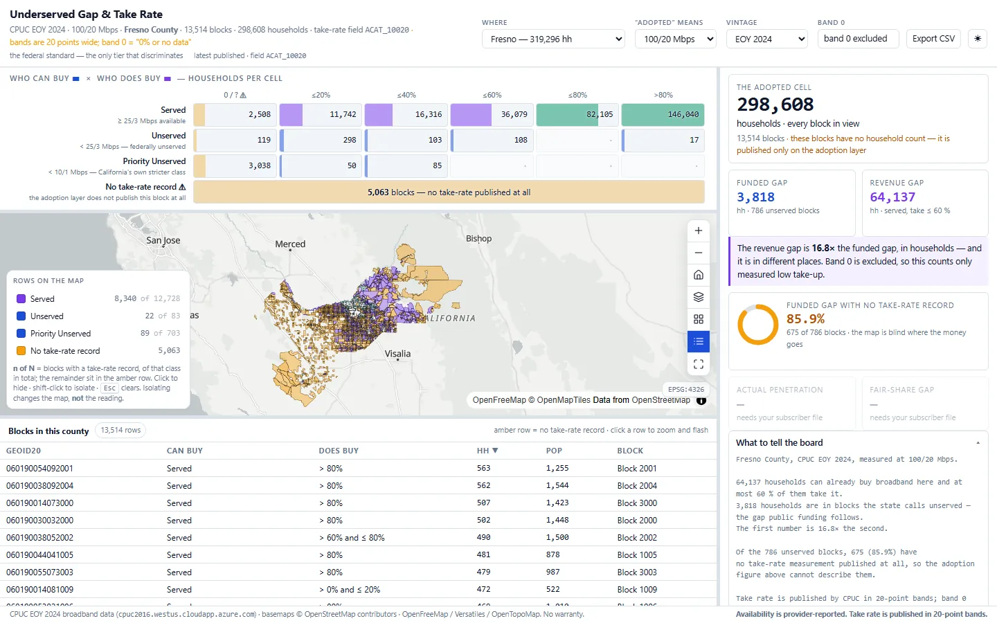
Underserved Gap & Take RateWho is outside broadband coverage, and who signs up?See the app →
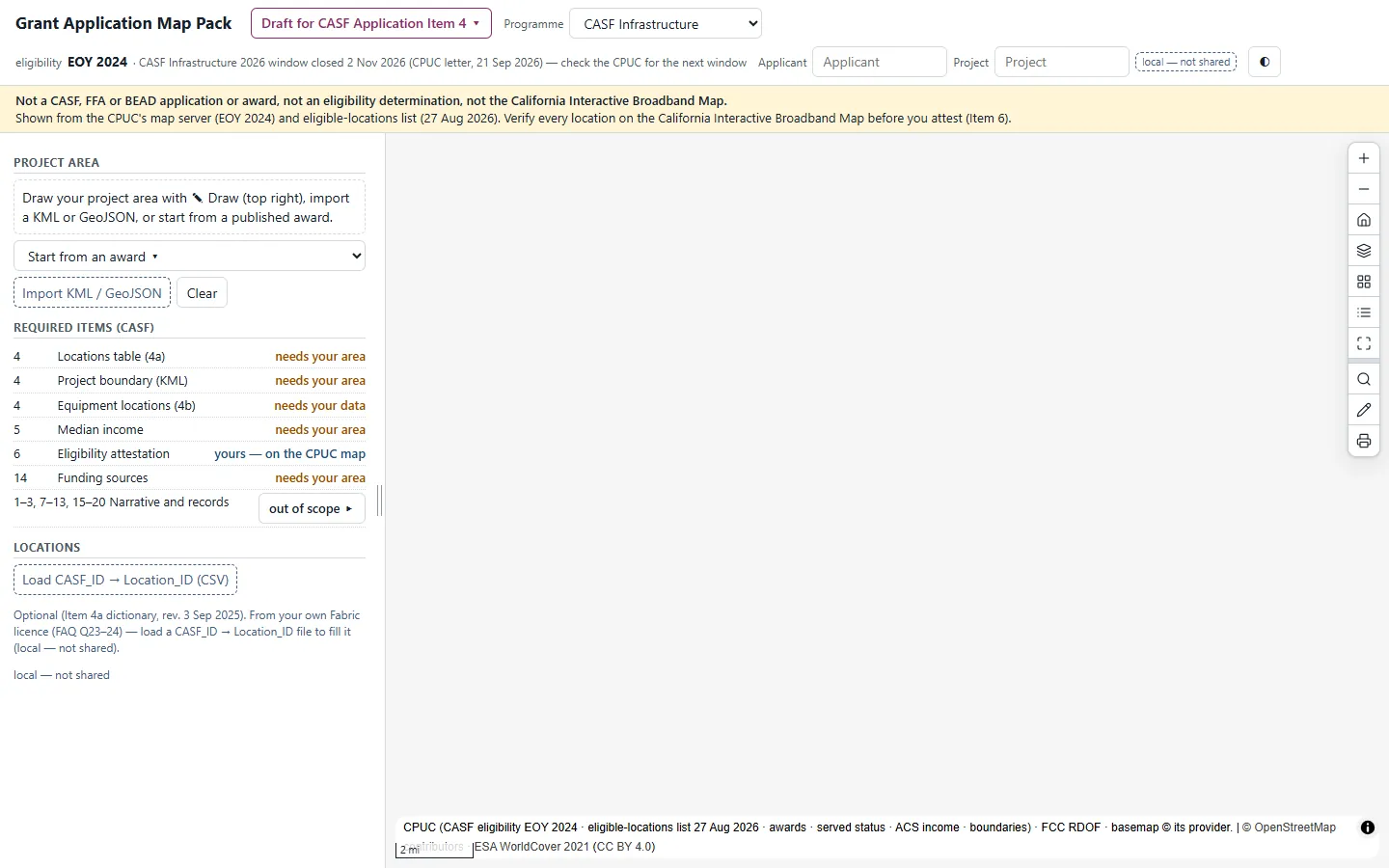
Grant Application Map PackWhich eligible locations in my project already sit inside an award?See the app →